A skill that screenshots your app for the landing page by itself
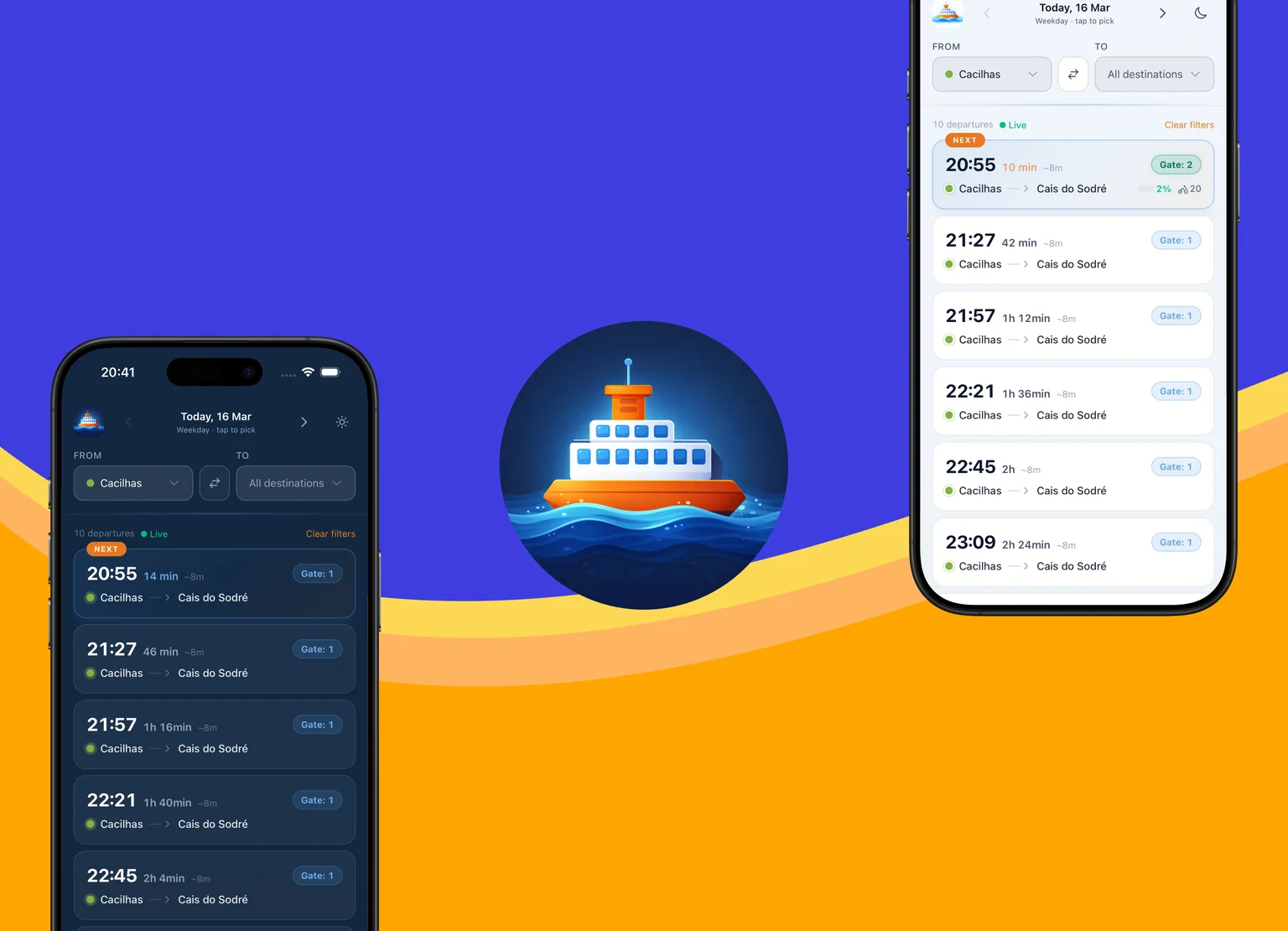
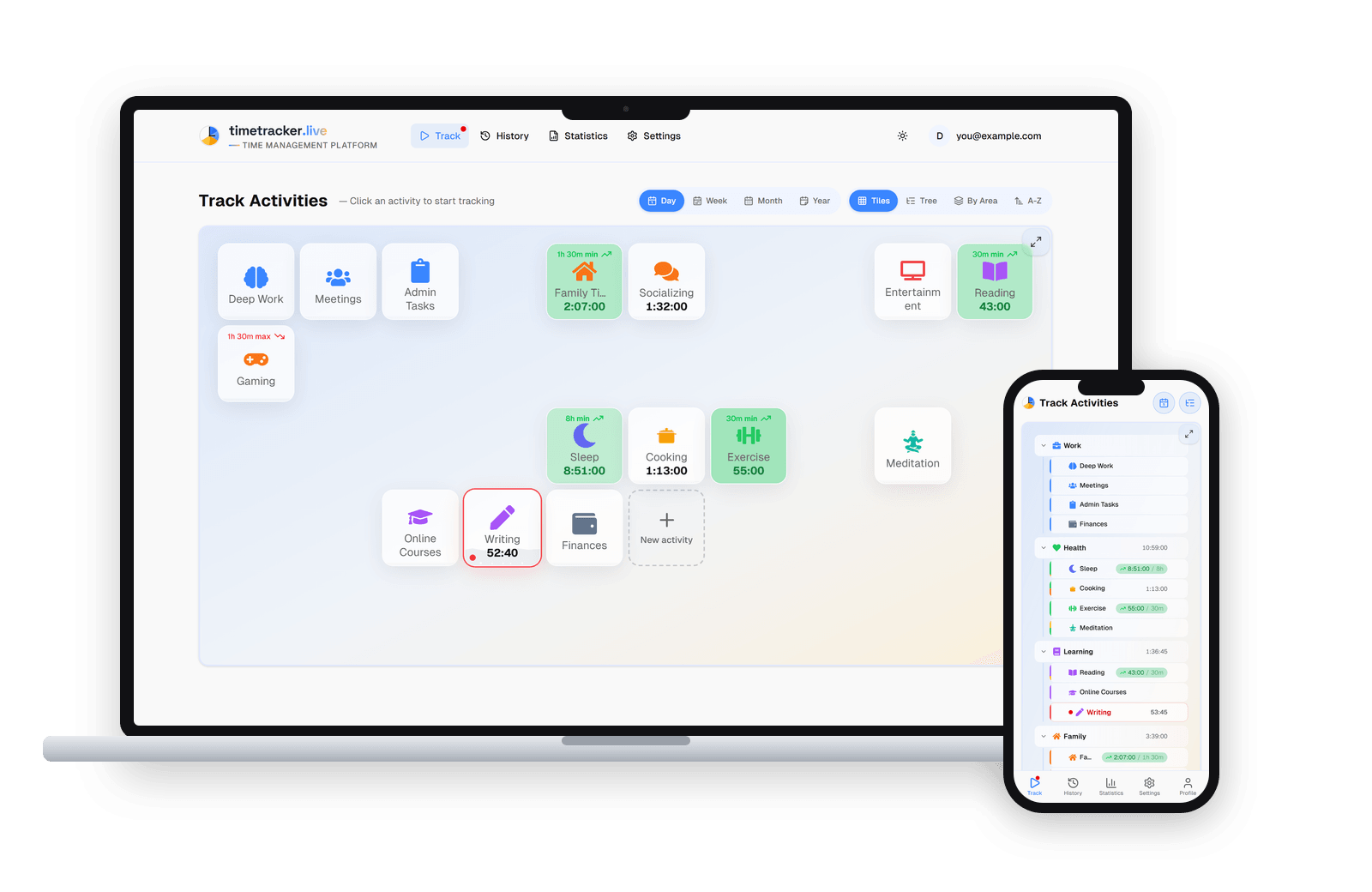
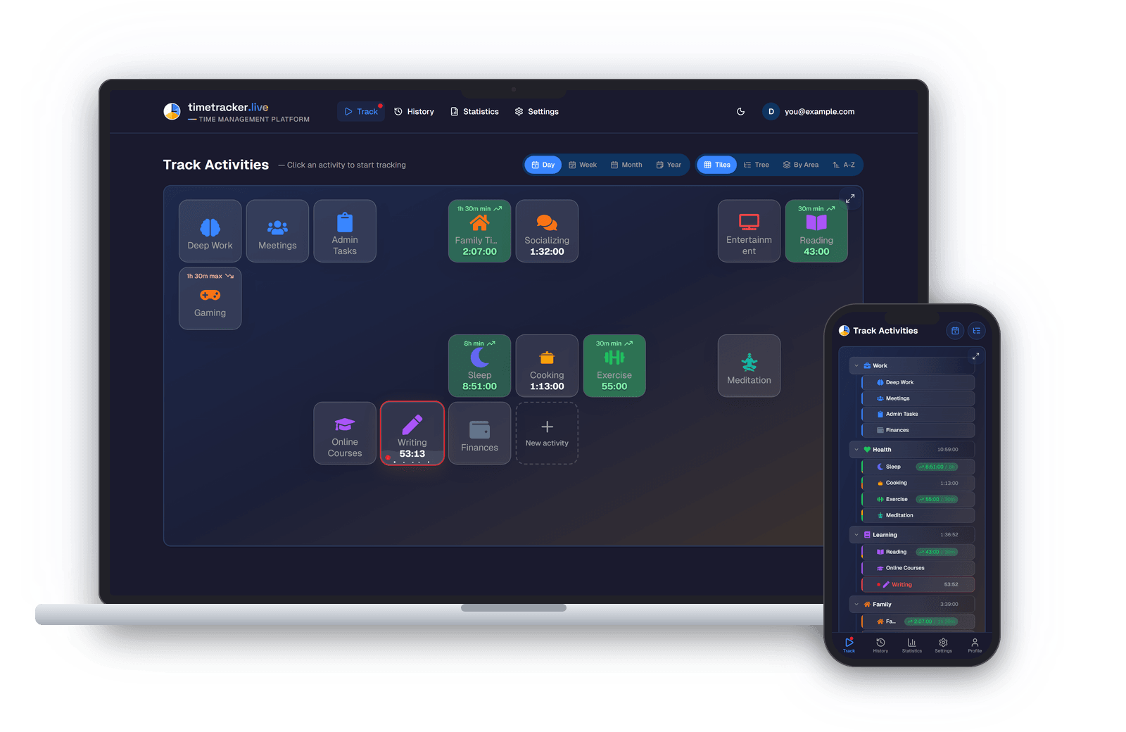
Screenshots on a marketing page are the kind of work you hate twice. The first time is when you take the shots by hand, curate the data so there are no empty tables and no "asdf" test rows, then drag everything into Photoshop for a browser frame and retina sharpness. The second time is a month later, when you've changed the UI and every image is stale at once. And round you go again.
claude-codeskillsавтоматизацияmarketing
Read more